


-
 Accueil
>
Accueil
>
- 1917-1918, RECONSTRUCTION >
- Reconstitution >
- Reconstruction of Cambrai

Reconstruction of Cambrai
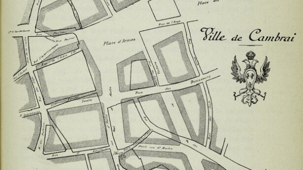
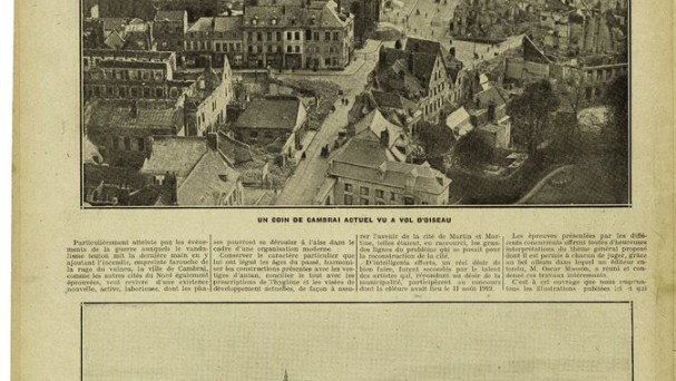
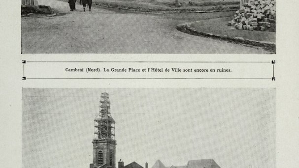
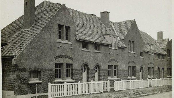
The Cambrai reconstruction and embellishment project was developed by an extra-municipal commission composed of architects, engineers, entrepreneurs, elected officials, and artists. The architect Leprince-Ringuet was charged with coordination of operations but for some specific works, other architects were called on. The city centre had been demolished and burned, so it was decided to restyle it: the hub was city hall with all associated services necessary for urban life - courthouse, chamber of commerce, post office, tax office - located along a new square behind the Grand Place. Commercial activity was centred around the Place d’Armes and adjacent streets. To avoid congestion of the city centre, a new traffic plan was developed along two major north-south and east-west arteries that intersected at the Grand Place. New streets were laid, and the old narrow streets were straightened and widened. A checkerboard network was not adopted as it would have upset the urban make-up. Straight perspectives were laid out and space around city hall and the train station was cleared (opening of avenue de la Victoire, of the St-Martin mall); the new suburbs created by the dismantling of the ramparts were inter-connected and connected to the heart of the city by rings and bridges. The houses were rebuilt on site by redeveloping former styles for more architectural beauty: city hall, according to technical specifications, had to be rebuilt in the 18thcentury style and the houses on the Place d’Armes in the Flemish style. This reconstitution was the opportunity for urban sanitation as well, so slaughterhouses were relocated to the outskirts, and thought was given to the building of a sewage station and an incineration facility for household waste. This urban planning required numerous expropriations that only the State was authorised to undertake by buying back war damages. In 1922, a convention was signed between the Cambrai mayor, Mr. Garin, and the State (known as the “Garin law”) which allowed a City Hall to substitute itself for the State. These legal issues slowed Cambrai reconstruction which stated only in 1923 and was completed in 1932 with the inauguration of City Hall.